2 Adjoining Lots Near Tourist Sites
Sanders, AZ 86512
Apache County, Arizona
Land Description
Property Description:
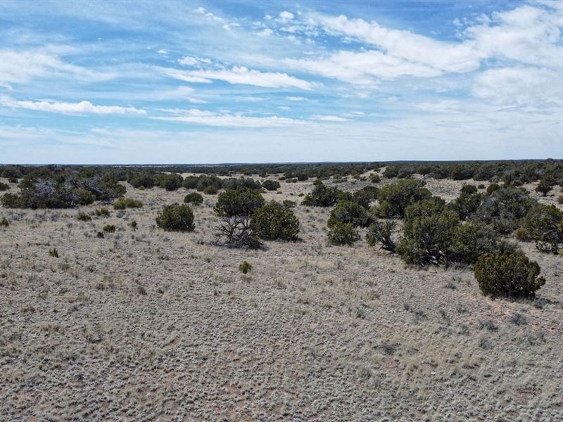
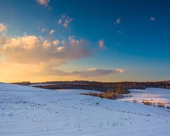
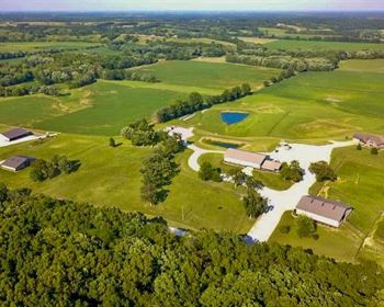
Appreciate the unique charm of this 2.08-Acre property in Sanders, featuring two contiguous 1.04-Acre parcels. Conveniently located between Sanders and St. Johns with accessible entry from HWY 191, this land offers a natural retreat with rolling hills, lush trees, majestic mountains, and enchanting canyons. Tailored for off-grid or recreational use, it boasts no Homeowners Association (Hoa) constraints, agricultural general zoning, and permissions for camping and RVs (excluding mobile homes).
This presents a valuable opportunity to secure your own piece of Apache County, known for its proximity to Northern Arizona's notable attractions, including the Petrified Forest National Park, Crystal Forest, Giant Logs, Agate Bridge, and the Rainbow Forest Museum.
Property Details:
Parcel ID: 206-51-260 & 206-51-261
Address: Sanders, AZ 86512
County: Apache County, Az
Size: 2.08 Acres (1.04 Each Lot)
Approximate Annual Taxes: $3.16
Access: Dirt Road - N7445 County-maintained
Flood Zone/Wetlands: None
Zoning: Agricultural General (Ag)
Terrain: Flat, Plain, Desert.
HOA/POA: None
Legal Description: Apache Park Estates 3 Lot: 613 Section: 14 Township: 18N Range: 28E
Location Details:
GPS Center Coordinates: 34°57'33.0"N, 109°20'15.6"W
Nearby Cities & Attractions:
Closest Major Cities: Holbrook, Winslow, Flagstaff.
Closest Highways: US Hwy-191, Rt-61.
Nearby Attractions: Petrified Forest National Park, Petrified National Forest Sign, Crystal Forest, Giant Logs, Agate Bridge, Rainbow Forest Museum, Whipple Point Pintado Point, The Tepees, Tiponi point Painted Desert Petrified Forest.
Price Details:
Cash Price: $5,899
- or -
$100 Down, $100/Month for 59 months
(+ $250 Doc Fee)
Buyer-Friendly Payment Plan Available.
No interest. No credit check needed. Everyone qualifies. No hidden fees.
Talk To Us.
Land Maps & Attachments
Directions to Land
Follow these GPS Coordinates for the exact property location:
GPS Coordinates (Lot 1): 34.959196, -109.338164
GPS Coordinates (Lot 2): 34.959199, -109.337664
More Land Details
More Land from Joel Randolph
 1 AC : $5.3K
 1.1 AC : $5.5K
 1 AC : $5.5K
 1 AC : $7.2K
 1 AC : $5.5K
 1 AC : $7.5K
 1 AC : $5.5K
 1 AC : $7K
 1.4 AC : $5.5K
 1 AC : $5.5K
