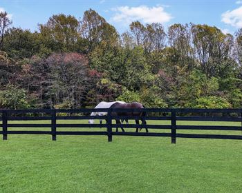
All Set Up for Deer Season
Hackneyville, AL 35010
Clay County, Alabama
Land Description
• A hunting tract all set up for deer season.
• Located in southern Clay County, AL, about 85 minutes to Birmingham, and about 63 minutes from Auburn. The property is about 18 min. from Ashland and 24 min. from Alexander City.
• The property is set up for deer hunting with several shooting houses overlooking food plots + a gathering spot with a skinning rack and outhouse.
• Power is about 350 feet east of the northeast corner. There is no public water.
• The timber is natural (un-planted) and is a mix of pine and hardwood that we estimate is about 25 years of age. It's merchantable, but young.
• The property does not touch the county road, Mt. Zion Church Rd, which is a dirt, county-maintained road lying east of the property. From the county road, there are two gated access roads leading to the east line of the property. Gate “A” is about 800 feet from the east line of the property. Gate “B”, at the northeast corner of the property, is about 20-30 feet from the east line of the property. Both access roads are well established and their use has been uncontested. But they are un-deeded and run across adjacent private land. See the topo map on the web site for road and gate locations.
• Two beautiful, rocky creeks run through the property for about ¾ mile.
• The gates are locked, so call the agent, Jason Wales, for access info.
Land Maps & Attachments
Directions to Land
From the intersection of I and U S Hwy 280 in Birmingham (about 85 minutes to the property)
Call the agent for a Google Maps Pin to one of the gates. Or follow these instructions: Head east on U S Hwy 280 toward Auburn for 37.8 miles to Sylacauga. Take a left on to W. Park Street and go 1.2 miles. Take a right on AL Hwy 21 S / Broadway Ave and go 0.3 miles. Take a left onto Hwy 511 (Goodwater Hwy) and go 13.8 miles to Goodwater. Take a left onto AL Hwy 9 and go 4.8 miles. Take a right onto AL Hwy 63 and go 1.9 miles. Take a left onto Liberty Road and go 3.1 miles. Take a left onto Old Providence Rd. (Co Rd 5) and go 3.2 miles. Take a left on dirt Mt. Zion Church Road, and go 0.4 miles to gate “A” and 0.8 miles to gate “B”, both on the left/west side of Mt. Zion Church Rd. The gates are locked. You are welcome to look on your own, or you can call the agent to set up an appointment. If you look on your own, call the agent for gate access info and print out the brochure from the web site and take it with you for the maps and aerial photos. Call the agent, Jason Wales, for more information.
More Land Details
More Land from Tom Brickman
 63 AC : $233K
 22 AC : $130K
 13 AC : $71.5K
 191 AC : $478K
 94 AC : $259K
 216 AC : $605K
 1,633 AC : $18M
 15.5 AC : $130K
 325 AC : $695K
 42 AC : $210K
 201 AC : $693K
 86 AC : $350K


