Room for A View
County Road 217 : Ariton, AL 36311
Dale County, Alabama
Shown by Appointment Only
Land Description
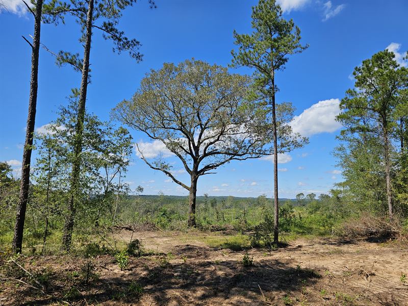
This property has it all which includes 50 acres of amazing sunset views, flat and rolling topography, a spring feeding into a stream, options for homesites, deer, and mature planted pines. A third of these 50 acres is flat and all of it is out of any flood zone. The rolling topography offers amazing views of the flat land. A spring begins near the center of the parcel and runs west towards a larger stream just off the property. The back or western end has an impressive stand of (16 acres) planted mature pines. Approximately half of this stand is in these 50 acres. As of right now, the additional bordering property may be purchased. There are about 10 more acres of hardwood that run along the spring and the road frontage. Much of the rest could be converted to pasture or replanted in trees. Power is being run and county water access will be available.
The school zone is Ariton. The property resides in the county and has no special restrictions.
There are plenty of whitetail deer and so far, no hogs. The sellers guarantee a passing perk test. This property may be divided to fit your financial plan.
· Good hunting property
· A running spring
· 17 acres of timber
· Easy access to utilities
· Not restricted and very private
· Ariton School Zone
· Perc Test included
Location: This property is 5 miles south of Ariton and 8 miles north of Ozark.
Land Maps
Directions to Land
Access: From the McDonalds in Ozark head northeast on East Andrews Ave for 1.1 miles. Continue onto North Court Square for 0.2 miles. Turn left onto AL-123 N and go 7.3 miles. Turn left onto Co Rd 217 and your destination will be on the right in 0.1 miles.
More Land Details
More Land from Tom Connell
 219 AC : $767K
 22 AC : $110K
 149 AC : $522K
 20 AC : $97K
 55 AC : $210K
 108 AC : $594K
 69 AC : $245K
 15 AC : $825K
 47.9 AC : $2.01M
 120 AC : $384K
 10 AC : $55K
 21 AC : $110K


