Woodchopper Gold Claim
Circle, AK 99733
Yukon-Koyukuk Borough, Alaska
Shown by Appointment Only
Land Description
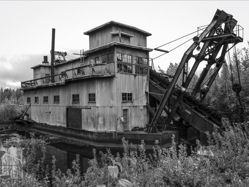
The year was 1898. One of the most significant events in Alaska's history was in full swing, The Klondike-Alaska Gold Rush. The Klondike Gold Rush first began in 1896 when gold was discovered in the Yukon Territory. One of the most prominent areas of the Klondike Gold Rush was the Woodchopper Creek region, which is located about 200 river miles downstream of Dawson City, the epicenter of the gold rush. Woodchopper Creek was, and still is today, an attractive location for miners due to a significant amount of high-grade gold and other valuable minerals.
This offering, “Woodchopper Creek Gold Claim”, consists of a set of 52 claims representing a total of about 1418± acres, with 15 of these claims (about 230± acres) being patented and the remaining 37 claims (about 1188± acres) being unpatented. Located in the Yukon-Koyukuk Borough between the towns of Circle and Eagle, Alaska, the property is an inholding situated within the Yukon-Charley Rivers National Preserve managed by the US National Park Service (Nps). The Property's 15 patented claims were periodically mined up through the 1980S, whereas the 37 unpatented claims remain undeveloped.
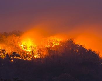
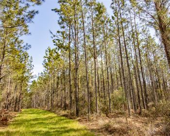
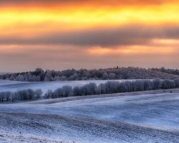
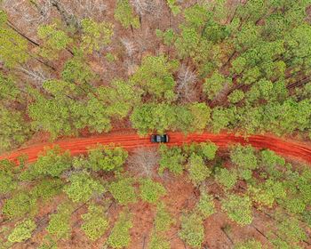
One of the most notable aspects of the Woodchopper Creek Gold Claims is the unique geology of the region. The area is characterized by rugged, mountainous terrain located in the heart of the Tintina Gold Belt. Woodchopper Creek Gold Claim is part of the mixed forest/scrub-shrub permafrost ecosystem of interior Alaska. It is comprised of highland, lowland, wetland, and riparian features that support more than forty wildlife species, including black bear, grizzly bear, caribou, Dall sheep, moose, wolf, and wolverine. These species use the property as either full-time or temporary habitat making the property highly valuable for conservation purposes. The Yukon River supports three species of salmon at this location - coho, Chinook, and chum. Chinook salmon spawn at the mouth of Woodchopper Creek upstream of its confluence with the Yukon River. The lack of wildfire damage in this area enhances the value of the relatively pristine character when compared with neighboring landscapes that have suffered wildfire damage in the recent past.
The Woodchopper Creek Gold Claims have a rich history and remain a significant source of precious metals in the Yukon Territory. The region's unique geology and high-grade ores continue to attract mining operations. The potential for significant profits makes the area a desirable location for both small and large-scale mining operations. While the area presents many challenges, the rewards for successful mining ventures can be substantial.
Land Maps
Directions to Land
The Woodchopper Creek Gold Claim property is approximately 60 miles upstream from Circle, Alaska.
Traveling 162 miles northeast of Fairbanks, Circle (population 100) is located at the end of the Steese Highway on the south bank of the Yukon River, 14 miles downriver from the Yukon-Charley Rivers National Preserve. Access to the preserve via Circle is one of only two road-based options available.
More Land Details
More Land from Troy Dana
 35 AC : $750K
 11.8 AC : $5.8M
 17.2 AC : $2.7M
 44 AC : $4.95M
 50 AC : $1.95M
 1 AC : $1.95M
 25 AC : $3M
 1,560 AC : $37M
 1,880 AC : $1.8M
 12 AC : $2.6M
 1,640 AC : $4.95M
 648.5 AC : $973K
