Serene Land in Green Mountain, NC
Green Mountain, NC 28740
Yancey County, North Carolina
Land Description
Beautiful 1.48-Acre Lot for Sale in Green Mountain, NC - Perfect for Your Dream Home or Secluded Retreat.
Note: We sell real estate at discount wholesale prices.
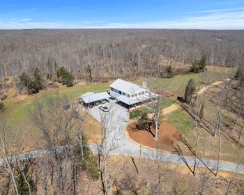
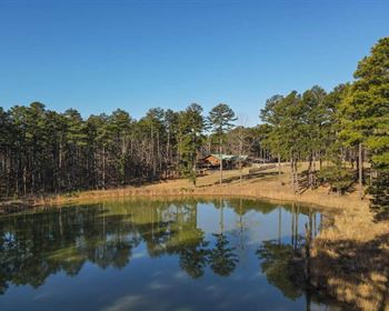
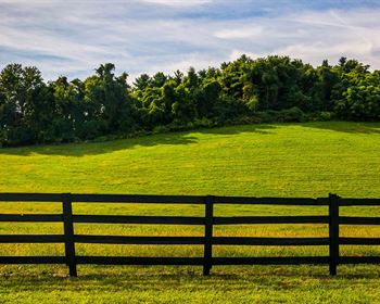
Discover the peace and charm of Green Mountain, NC with this scenic 1.48-Acre lot in the gated River Crest community. Whether you're looking to build now or hold for future appreciation, this parcel offers unmatched natural beauty, privacy, and investment potential.
Property Highlights:
Gently Sloping Terrain with stunning mountain views-ideal for a custom home or peaceful retreat
Located in an International Dark Sky Area-perfect for stargazing, with a nearby observatory and planetarium
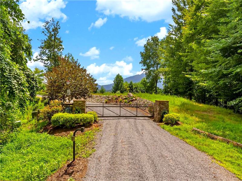
Gated Entry off Double Island Road with sensible community restrictions
Approved for single-family stick-built or modular homes (min. 1,400 sq ft per Cc&Rs)
Driveway and homesite ready for construction-minimal clearing required
Requires well & septic | Electricity nearby
15 mins to Burnsville, Spruce Pine & Bakersville | 1 hr to Asheville
Outdoor paradise near Appalachian Trail, Blue Ridge Parkway, Toe & Cane Rivers, golf, skiing & more
Property Details:
Location: Lot 6 River Crest Subdivision, Green Mountain, NC 28740
Size: 1.48 Acres
Terrain: Sloping
Access: Unpaved road (High Peak Drive)
Zoning: None (county)
Restrictions (Per Cc&Rs):
Rvs & Camping: Allowed
Tiny Homes & Mobile Homes: Not allowed
Stick-built/modular homes only (min. 1,400 sq ft)
HOA: $330 annually (River Crest POA Facebook)
Annual Taxes: $300
Utilities:
Electricity: French Broad Electric
Water: Well needed
Sewer: Septic required
Gas & Waste Services: Local providers available
Nearby:
Closest Highway: HWY 19 E
Major City: Asheville - 56 min (45.5 miles)
Closest Town: Burnsville - 19 min (9.5 miles)
Nearby Attractions:
Mayland Earth to Sky Park - 10 min
Crabtree Falls - 40 min
Wildacres Tunnel - 35 min
Blue Ridge Parkway, Mt. Mitchell, Roan Mountain - easy access
GPS Coordinates: 35.93776, -82.20837
Lot Dimensions:
North: 326.4 ft
South (3 segments): 22.54 ft, 264.31 ft, 61.31 ft
East: 347.76 ft
West: 189.63 ft
Pricing:
Cash Price: $10,999
Market Value: ~$25,000
You Save: Over $14,000.
Owner Financing Available - No credit checks
Term: Up to 60 months
Call or Text Greens On The Move
Don't miss this great deal-opportunities like this don't last long.
Ask us about other land deals at discount prices-more may be available.