Utah Homestead
Ballard, UT 84066
Duchesne County, Utah
Land Description
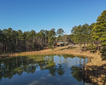
The undeveloped Cove Acres subdivision is centrally located in the beautiful Uinta Basin in Duchesne County, Utah. To the north and northwest is the Uinta Wasatch National Forest, to the south and northeast is the Ashley National Forest. Close by to the southeast is the town of Roosevelt.
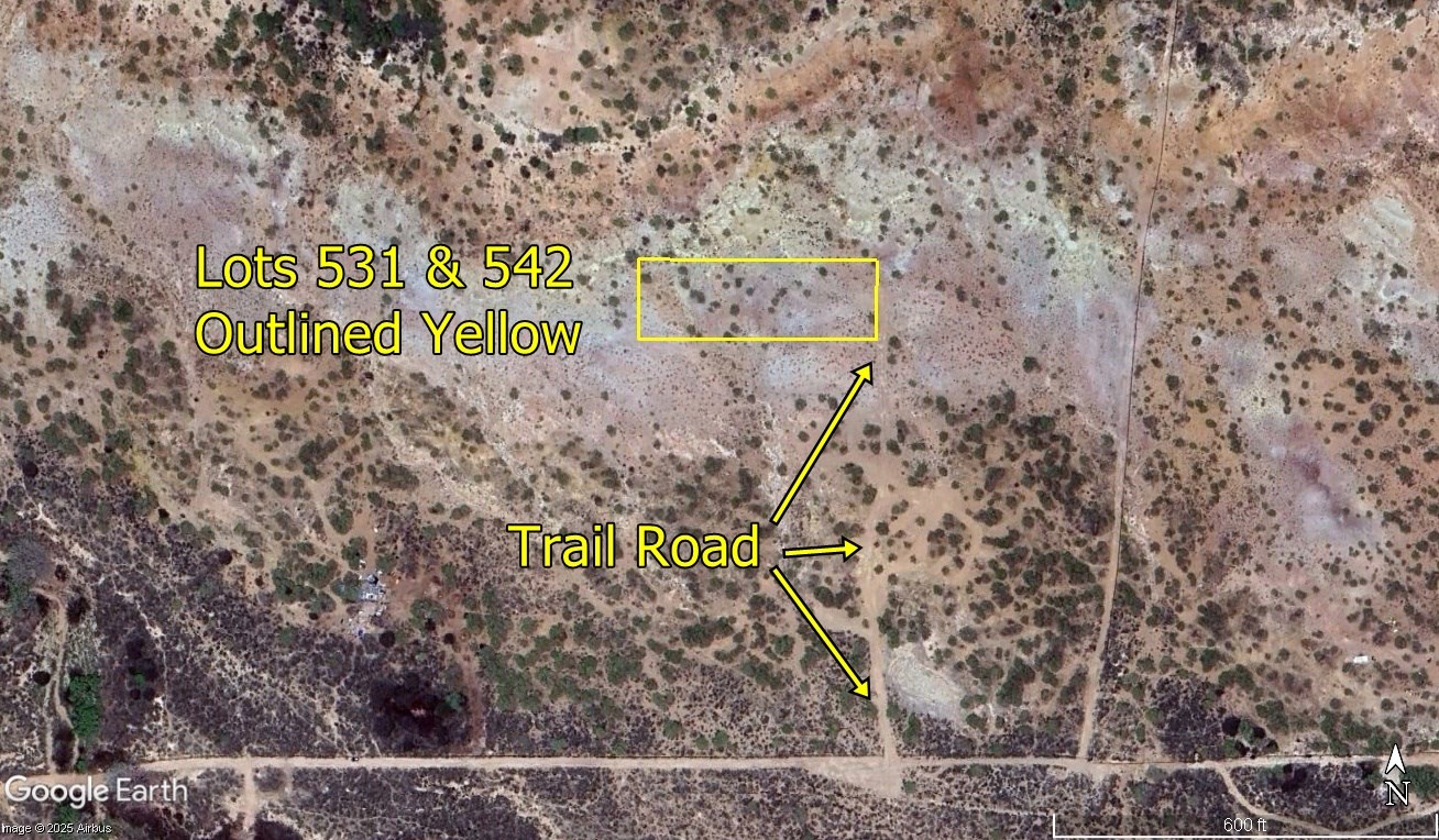
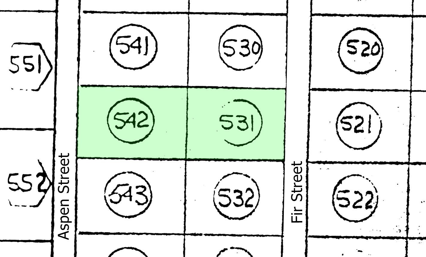
These properties are Lot 531 and Lot 542 in Cove Acres. They are each acre. You can treat them separately or combine them to have one large 1 acre property, which is big enough to apply for a building permit.
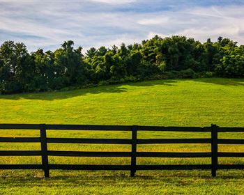
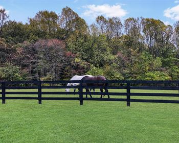
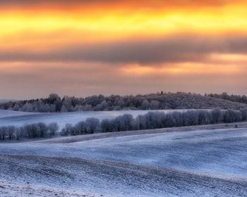
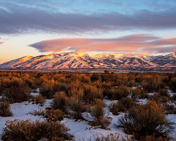
This can be your dream homestead. Or you can choose to occasionally camp or RV while holding your property for investment. You will love the pretty area and the mountain views.
They are about 1 mile north of Bluebell Road, northwest of Roosevelt.
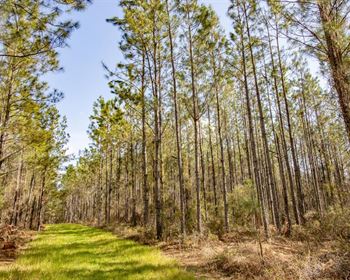
There is scattered vegetation. Area terrain is gently rolling.
Utilities have not been run into this area. You will need a water well if you are going to build a residence, and you will probably choose solar for power.
Everyone qualifies for the same financing, we do not run credit checks.
With a $294 initial payment ($99 down payment + $195 document fee) we will finance the balance for as little as $158.90 per month over 7 years.
This works out to slightly more than $5 per day over 7 years and you will own this property. You can pay your loan off early at any time and save all of the interest you otherwise would have paid after that date. Or you can buy these properties outright instead of financing, and receive a 10% cash discount.
For more information or to purchase, please click on the green Land Website button below.
Land Maps & Attachments
Directions to Land
Starting at the intersection of State Highway 121 and N 200 E Street in Roosevelt.
Head west on State Highway 121 for 1.5 miles.
Turn left onto Upper Hancock Cove Road and drive 2 miles.
Turn right onto 3000 W and drive north for 0.48 miles.
Turn left onto 4075 N and drive west.
1.93 miles later turn right at 40.328086 -110.084036.
0.42 mile later follow the bend to the right at 40.334124 -110.083956.
0.12 mile later follow the gradual bend to the left at 40.335000 -110.081974.
0.23 mile later turn left at 40.337594 -110.083612.
0.3 mile later turn right at 40.337819 -110.093725.
0.12 mile later you will be at the properties.
More Land Details
More Land from Samantha Stephens
 0.3 AC : $4K
- 0.2 AC : $7K
- 0.3 AC : $3K
- 1.2 AC : $9K
- 5 AC : $10K
- 1 AC : $4K
- 7.5 AC : $12K
- 5 AC : $30K
- 0.3 AC : $3K
- 7.5 AC : $12K
- 1.8 AC : $7K
- 10 AC : $20K


